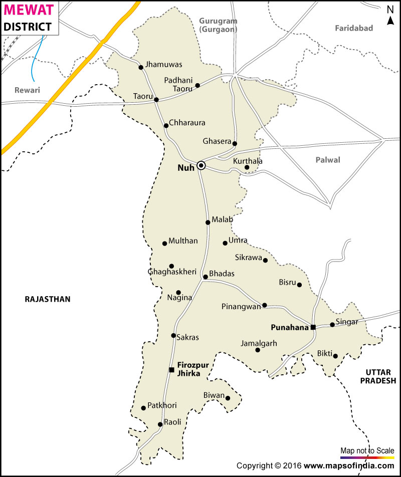
*Mewat District map showing National highways, district headquarter, roads, towns, etc.
Disclaimer: All efforts have been made to make this image accurate. However Mapping Digiworld Pvt Ltd and its directors do not own any responsibility for the correctness or authenticity of the same.
The Haryana government has decided to rename the district of Mewat as Nuh. Mewat district is one of the districts of Haryana. On April 4, 2005 this 20th district was carved out of former Gurgaon and Hathin Block of Faridabad districts. The Mewat district is surrounded by Gurgaon district in north, Rewari district in west and Palwal & Faridabad districts in east. The headquarters of Mewat district is Nuh. The district comprises of Nuh, Nagina, Taoru, Punhana and Firozpur Jhirka blocks, 431 villages and 297 panchayats.
The Mewat district has an area of 1,499 sq km and has a population of 1,089,406 as per the 2011 census with a population growth of 37.94 percent and a population density of 729 people per sq. km. The main occupation of Mewat is agriculture and related agro-based activities along with animal husbandry as the secondary source of income. Mewat is also called the Land of the Meos. They are tribal inhabitants who are mainly agriculturalist.
Facts of Mewat District
State
Haryana
District
Mewat
District HQ
Nuh
Population (2011)
1089263
Growth
37.93%
Sex Ratio
907
Literacy
54.08
Area (km2)
1765
Density (/km2)
729
Tehsils
Ferozepur Jhirka, Nuh, Punahana, Taoru
Lok Sabha Constituencies
Gurgaon
Assembly Constituencies
Nuh, Ferozepur Jhirka, Punhana
Languages
Hindi, Haryanvi, Mewati
Rivers
Mewat
Lat-Long
28.008952,77.062797
Travel Destinations
Fort Kotla, Indor Fort, Shaking Minarets, Nallad, Chui Mai Pond etc.
Government Colleges/Universities
Govt. College for Women (Salaheri Nuh), Government College (Tauru), Govt. College (Nagina) etc.