
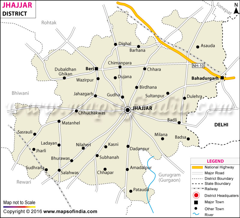
| *Jhajjar District map showing National highways, district headquarter, roads, towns, etc. |
| Disclaimer: All efforts have been made to make this image accurate. However Mapping Digiworld Pvt Ltd and its directors do not own any responsibility for the correctness or authenticity of the same. |
The Jhajjar district of the state of Haryana was established on July 15th, 1997. Formerly a part of Rohtak district, the district headquarter is situated in Jhajjar town. One of the most developing districts of the state, Jhajjar is located very close to Delhi.
The Jhajjar district has a total area of 1983.90 square kilometer and a population of 8,87,392 out of which 78.2% comprises of the rural sector. The district is divided into two subdivisions, Jhajjar and Bahadurgarh. There are 134 post offices, 74 branches of different banks and four main railway stations in Jhajjar District. Another railway track connecting the head quarter is on the plans. The district has 905 kilometers of total road length.
Jhajjar has a great historical background with connections to various periods of the Indian history. The district's economy is equally balanced with industrialization and agriculture. The basic industries of the district are ceramics, chemicals, glass, electrical engineering and electronics. The total industrial area sums up to 946.04 acres of land.
The overall topography of the area consists mainly of alluvial plains and undulating dunes at some places. The sub tropical climate witnesses heavy rainfall during July to September. Kharif and Ravi are the main crops under which bajra, jowar, barley, wheat and sugarcane are grown.
Jhajjar encompasses 7 degree colleges, 60 senior secondary schools, 200 high schools, 102 secondary schools, 492 primary schools and one 'Navoday' school. Jhajjar has several places of tourist importance with Bhindawas Bird Sanctuary leading the list.
| Facts of Jhajjar District | |
|---|---|
| State | Haryana |
| District | Jhajjar |
| District HQ | Jhajjar |
| Population (2011) | 958405 |
| Growth | 8.90% |
| Sex Ratio | 862 |
| Literacy | 80.65 |
| Area (km2) | 1868 |
| Density (/km2) | 522 |
| Tehsils | Bahadurgarh, Beri, Jhajjar, Matenhail |
| Lok Sabha Constituencies | Rohtak |
| Assembly Constituencies | Bahadurgarh, Badli, Jhajjar (SC), Beri |
| Languages | Hindi, Haryanvi |
| Rivers | ----- |
| Lat-Long | 28.627925,76.678677 |
| Travel Destinations | Bhindawas Complex, Pratapgarh Farms, Bua Wala Talab, Archaeological Museum of Gurukul etc. |
| Government Colleges/Universities | Chaudhary Dheerpal Govt. College (Badli), Chaudhary Hardwari Lal Govt. College (Chhara), GC (Bahu), Government College (Bahadurgarh), Govt College (Jhajjar), Govt. College (Dujana), Govt. College for Women (Bahadurgarh), Govt. College for Women (Jassaur Kheri), Govt. College (Matanhail), Govt. College (Dubaldhan), Govt. College (Birohar) etc. |