Disclaimer: All efforts have been made to make this image accurate. However Mapping Digiworld Pvt Ltd and its directors do not own any responsibility for the correctness or authenticity of the same.
Gujarat is one of the most prominent states of India and is regarded as the most developed one as well. The state of Gujarat is a land of vast plains, rivers hilly region and the gulf. The state boasts of one of the highest economy in the country that has plenty of industries and factories that has enhanced the revenue of the state.
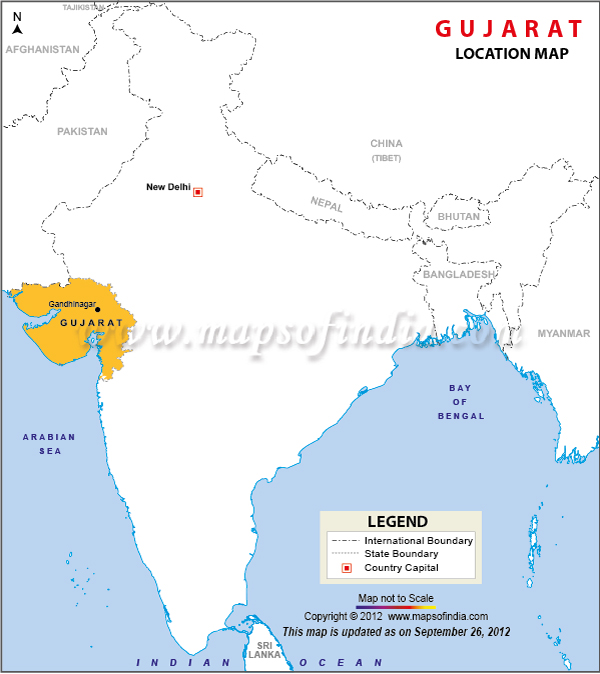
Gujarat location
Gujarat is located on the western coast of Indian Peninsula and shares borders with Pakistan and the state of Rajasthan to the north east. To the east lie Madhya Pradesh and the union territories of Dadra, Diu, Nagar Haveli and the state of Maharashtra to the south. The latitude and the longitude are 23.00 N and 72.00 E respectively. It has a coastline of 1,659 kms and the Kachch region of Ranns. The total area of Gujarat is 1, 96,027 square kilometer and comprises of forest land, degraded land under plantation crops, grazing land, mining industrial wastelands. It is the seventh largest state in area and has 26 districts.
Gujarat Facts
The biggest district in the state is Kutch district that is situated on an area of 45,652 sq km, while Gandhinagar is the smallest district that is situated on an area of 649 sq kms. The most populated district is Ahmedabad city in the state. Gujarat offers an array of awesome attraction that range from beaches, temples, monuments, museums etc. The state has many breathtaking places along with the Indus valley civilization that is a great attraction for many visitors. A map of Gujarat would be quite helpful in locating the various places of interest and knowing the state well.