
| *Bhavanagar District Map highlights the National Highways, Major Roads, District Headquarter, etc. |
| Disclaimer: All efforts have been made to make this image accurate. However Mapping Digiworld Pvt Ltd and its directors do not own any responsibility for the correctness or authenticity of the same. |
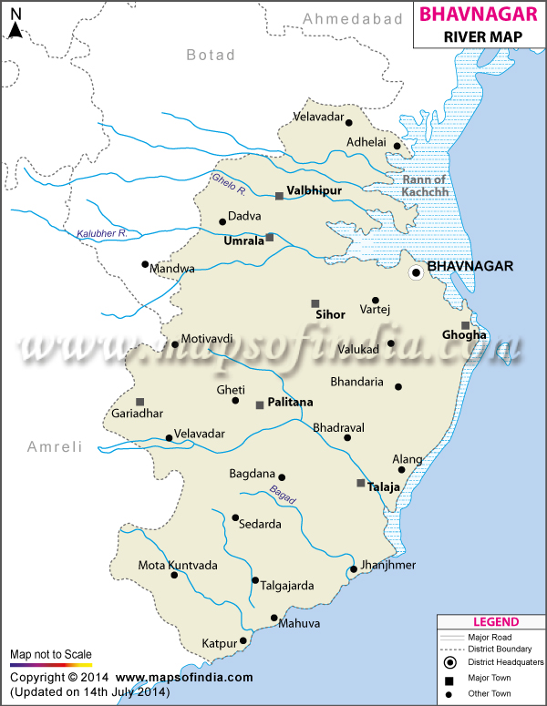
Situated in the eastern part of Saurashtra, Bhavnagar covers a total area of 9980.9 sq km. One of the major coastal districts of Gujarat, the place shares its borders with Ahmedabad, Surendranagar, Gulf of Cambay, Amreli and Rajkot. Accessible to all other Indian cities through proper rail, road and air linkages, the place is one of the most easily reachable districts of Gujarat.
The Diamond-cutting industry is one of the major sources of revenue earning of Bhavnagar. Apart from agricultural activities, the place also exports cotton and ship machinery. The ship-breaking yard of the district is famous all over the world.
Bhavnagar is linked to all major cities of Indian origin. While intercity bus services provide easy access to the district from all other districts of Gujarat, the place is directly connected to Mumbai through both air and railways.
The district is well known for its rich educational background. Some of its prime educational institutes are:
With a vibrant historical past, Bhavnagar presents an aura of rich Gujarati culture. The place has some distinct tourist places which receive huge number of footfalls every year. Some of the important tourist spots include:
Bhavnagar, a developed district of Gujarat, is steadily moving towards an all-round development through its diversified array of industries and allied economic activities.